Marketing a vacant lot is one of the most challenging assignments in real estate. Without walls to frame, kitchens to highlight, or living rooms to stage, you are asking buyers to invest in something that exists only in their imagination. In 2026's balanced Southern Nevada market, where inventory has climbed nearly 40% and listings linger longer than they have in years, that imagination gap can mean the difference between a quick close and a stale listing. The solution is simple: give buyers the only visual data that matters by showing them the land from a bird's-eye perspective that transforms raw dirt into a vision of what could be.
The Psychology of the Blank Canvas
When a buyer considers a finished home, the emotional transaction is straightforward. They walk through the front door, picture their furniture in the living room, and imagine holiday dinners in the kitchen. A vacant lot offers none of that instant emotional gratification. What it offers instead is potential, and potential is notoriously difficult to sell.
This is where professional drone photography bridges the gap between dirt and dream home. A skilled aerial photographer does not simply capture images of an empty parcel; they capture the sightlines that will define the future structure. What will the buyer see from a second-story balcony? How does the morning sun track across the lot? Is there a mountain view that would be obscured by neighboring rooflines, or is it an unobstructed panorama that will add six figures to the eventual home's value? These are the questions that professional drone media answers before the buyer ever sets foot on the property.
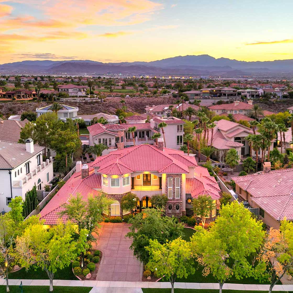
In the fast-moving master-planned communities of Summerlin West, Skye Canyon, Cadence, and Inspirada, vacant residential lots represent premium assets. With Las Vegas's population surging toward three million, land is finite and increasingly valuable. For listings where there is no structure to photograph, the visual data you provide is the only tool buyers have to justify their offer. Make that data compelling.
Technical Marketing Expertise: What Sets a Land Specialist Apart
Not every real estate photographer understands the nuances of vacant land marketing. As a land marketing specialist with over a decade of experience and FAA Part 107 certification, I approach every lot shoot with a strategic methodology designed to answer buyer questions before they ask them.
The Boundary Overlay Concept
One of the most common buyer anxieties about vacant land is simple: where does my property end and the neighbor's begin? From the ground, survey stakes can be difficult to locate among scrub brush and grading contours. From the air, however, property boundaries become immediately apparent. High-resolution aerial photography allows agents to overlay precise boundary markers, showing buyers exactly where their $125,000 worth of dirt ends and the adjacent parcel starts. This clarity eliminates confusion, reduces buyer hesitation, and accelerates decision-making.
Topography Visualization
Buyers and builders alike need to understand the buildability of a lot before committing. HDR aerial photography reveals terrain details that ground-level photos simply cannot capture. Is there a gentle slope that will require retaining walls in Henderson's foothills? Is the lot a flat, construction-ready pad in North Las Vegas ideal for a quick build? Does the elevation in MacDonald Highlands offer those unblockable Strip views that command seven-figure premiums? Professional drone media provides the topographical context that transforms abstract acreage into actionable intelligence.
The $150 "Lot-Plus" Strategy: Ground-Level Intelligence
RCRdigital's Standalone Drone Package starts at just $125 and includes five to seven high-resolution aerial HDR photos from multiple angles and elevations. This package alone provides buyers with boundary context and surrounding landscape visualization. However, for agents who want to deliver a complete due diligence toolkit, I recommend the Lot-Plus Bundle at $150.
For an additional $25, the Lot-Plus Bundle adds ground-level photography that answers the practical questions buyers and builders ask:
• Utility markers: Where are the water, sewer, and electrical connections? Ground-level shots document existing infrastructure.
• Street-view curb appeal: What will the approach to the future home look like? Is the street paved, or is it still under construction?
• Neighborhood vibe: Proximity to parks, schools, shopping centers, and community amenities matters. Ground-level context brings the area to life.
Think of the Lot-Plus Bundle as a Construction Readiness Audit. For buyers preparing to break ground, these images provide confidence that the lot is genuinely shovel-ready.
Geographic Authority: Showcasing Southern Nevada's Land Markets
Different areas of the Las Vegas Valley present unique land marketing opportunities, and my approach adapts to each:
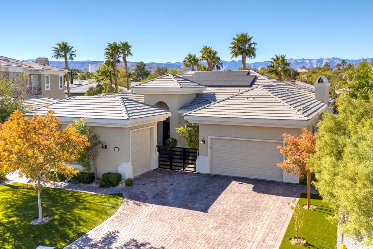
Henderson and MacDonald Highlands: In the foothills southeast of the Strip, elevation is everything. Aerial photography here focuses on capturing the dramatic terrain, the sweeping city-light views, and the premium positioning that makes these lots some of the most valuable in Nevada.
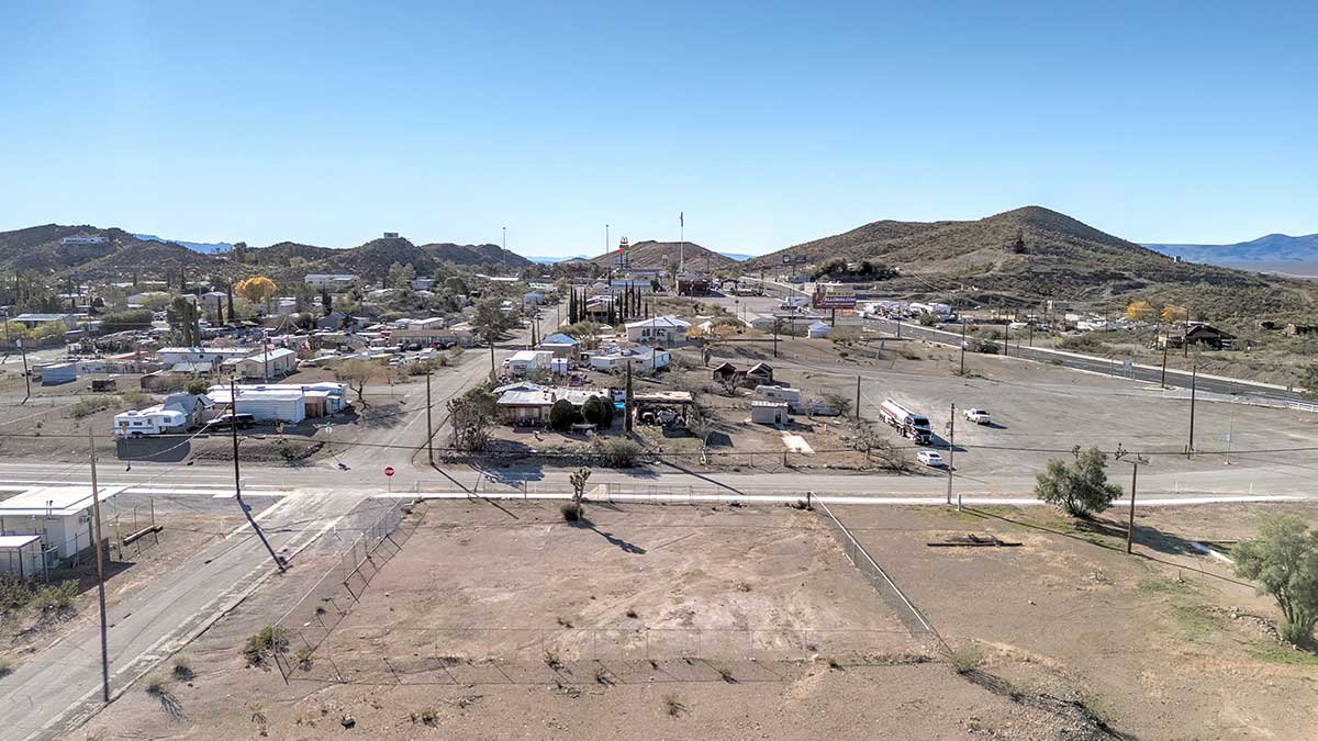
North Las Vegas: The 2026 tech and industrial expansion has made larger parcels in this corridor increasingly attractive. Drone media showcases the scale of these properties, their proximity to major transportation arteries, and the flat, development-ready terrain that appeals to builders and investors alike.
Summerlin West: As the new construction frontier pushes toward Red Rock Canyon, mountain-side aesthetics and desert landscaping define the marketing narrative. Aerial photography captures the dramatic backdrop and the master-planned infrastructure that makes Summerlin a perennial favorite.
The 2026 Investor Reality: Selling Sight Unseen
A significant trend in today's land market is the rise of California and out-of-state investors purchasing parcels without ever visiting in person. For these buyers, professional drone media is not a marketing luxury; it is the due diligence tool that allows them to pull the trigger with confidence. High-resolution aerials, boundary documentation, and topography visualization replace the traditional site visit. When your listing package answers every question a remote investor would ask, you remove the friction that slows transactions.
The 68% Speed Advantage
Research consistently shows that drone-supported land listings sell up to 68% faster than those relying on ground-level photography alone. In a balanced market where days-on-market directly impacts your client's bottom line, that speed advantage is the difference between a successful transaction and a listing that lingers. When you are the agent with the best-looking dirt in the MLS, you win the buyer's attention before competitors even enter the conversation.
2026 Listing Strategy Recap
• Vacant land requires visual data to bridge the imagination gap. Professional drone photography transforms raw dirt into a buyer's vision.
• Boundary overlays and topography visualization answer critical buyer questions about buildability and property limits.
• The $150 Lot-Plus Bundle delivers a complete Construction Readiness Audit with ground-level shots of utilities, street views, and neighborhood context.
• Out-of-state investors rely on drone media as their primary due diligence tool when purchasing sight unseen.
• Drone-supported listings sell 68% faster, giving you a decisive edge in the 2026 balanced market.
Ready to Market Your Vacant Lot Like a Pro?
In a market where presentation determines pace, RCRdigital delivers the visual marketing assets that make vacant land sell. With next-day delivery, FAA-certified drone expertise, and a decade of experience across Las Vegas, Henderson, Summerlin, and every community in between, Rick Rowland is your partner for land listings that move. Contact RCRdigital today and give your buyers the view they need to make a decision.
View our specialized Land and 3D Tour services at rcrdigital.com